Core GIS Applications in Engineering: A Practical Guide
Geographic Information Systems (GIS) have revolutionized how engineers approach design, analysis, and project management across all disciplines. This practical guide explores the fundamental applications of GIS in engineering, demonstrating how spatial intelligence enhances workflows and delivers measurable benefits through real-world examples.
Understanding GIS in an Engineering Context
GIS technology integrates location-based data with powerful analytical tools, enabling engineers to visualize, analyze, and manage complex spatial information. Unlike traditional CAD systems that focus on design geometry, GIS can add real-world context— e.g., elevation, soil conditions, infrastructure networks, and environmental constraints—to create a comprehensive framework for informed decision-making.
Modern engineering projects leverage GIS throughout their lifecycle, from planning and design optimization to construction monitoring and asset management. Today's platforms combine real-time sensor data, artificial intelligence, and cloud computing to create dynamic spatial intelligence systems. This integration with BIM, CAD, and IoT sensors enables engineers to optimize designs, predict failures, and manage infrastructure worth trillions of dollars globally through data-driven decisions.
In the first part of this two-part series, we will focus on core GIS applications that have become essential to modern engineering practice. In the next post, we will explore emerging technologies, such as artificial intelligence, digital twins, and augmented reality, that are pushing GIS capabilities into exciting new frontiers.
Infrastructure Planning and Design
Civil engineers were among the early adopters of GIS, recognizing its potential to transform infrastructure development. By leveraging spatial analysis, they could evaluate thousands of potential alignments against multiple criteria simultaneously, enabling more informed decisions in site selection and corridor planning. Today, modern GIS solutions also play a critical role in addressing ongoing challenges such as aging infrastructure and incomplete records of assets. These systems help engineers visualize, analyze, and manage spatial data to improve asset tracking, maintenance planning, and infrastructure resilience:
- Through route Optimization and Corridor Planning, which uses GIS to find the most efficient paths that minimize costs, travel time, and environmental impacts.
- Through site Selection and Land Use Analysis, which analyzes multiple factors to identify optimal locations for development while integrating with existing infrastructure.
- Through utility Network Management, which maps underground utilities to prevent strikes, optimize flow, and predict failures for proactive replacement.
Route Optimization and Corridor Planning
Montréal’s Asset Investment Planning System is a leading GIS application in Canada, used to manage 3,600 km of water and sewer lines and roads. By prioritizing interventions based on risk and coordinating utility work, the city has saved $200 million annually and optimized its $10 billion, 20-year infrastructure plan through integrated life cycle analysis.
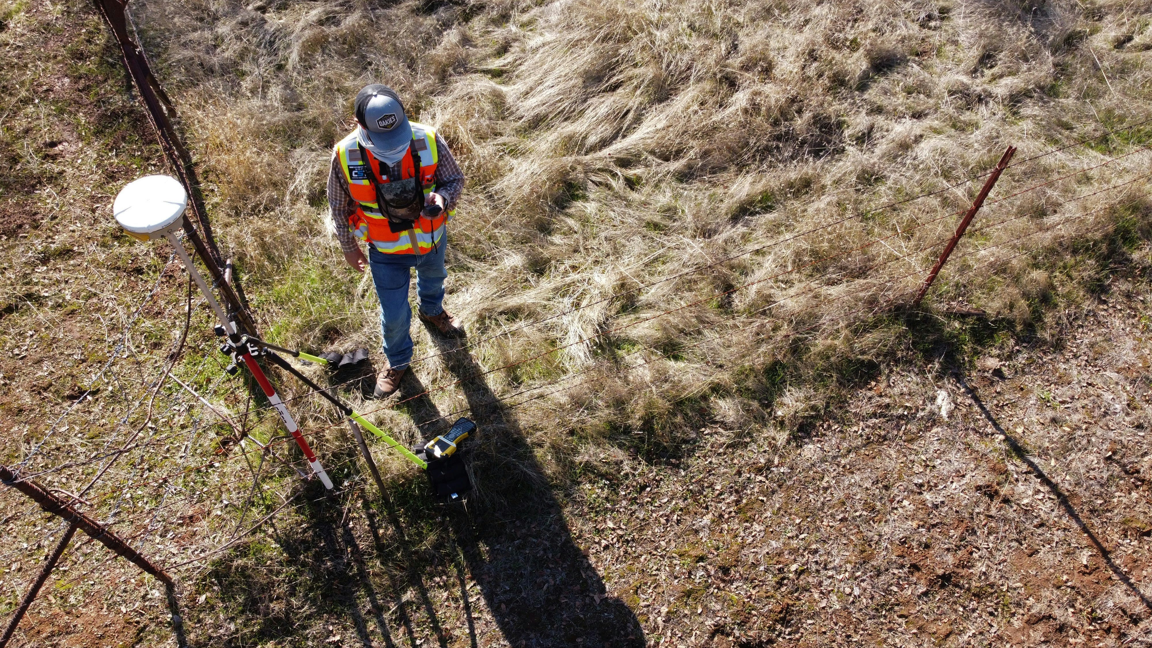
A civil engineer uses GNSS equipment to collect geospatial data, supporting infrastructure mapping and the identification of assets. Photo By Scott Blake on Unsplash.
Utility Network Management
BC Hydro’s GIS system manages 80,000 km of power lines and 30 hydro plants, serving 95% of the population of B.C. It integrates GE Smallworld and Esri ArcGIS with automated data sync for seamless utility network management.
Environmental and Geotechnical Analysis
Environmental considerations increasingly drive engineering decisions, and modern environmental assessments rely heavily on GIS for comprehensive impact analysis. GIS provides tools to quantify impacts, model scenarios, and demonstrate regulatory compliance throughout project lifecycles.
- Watershed and Drainage Analysis maps water flow patterns and flood risks using elevation data to design stormwater systems and green infrastructure.
- Slope Stability and Geological Hazards mapping transforms borehole data into 3D models to identify landslide risks and unstable ground conditions.
- Environmental Impact Assessment overlays project footprints with environmental data to quantify impacts on habitats, views, noise, and air quality.

Using GIS for site planning and impact assessment can facilitate integration of wind farms with agricultural drainage infrastructure.
Watershed and Drainage Analysis
The Toronto and Region Conservation Authority (TRCA) uses an integrated GIS platform with real-time sensors, mobile data collection, and high-resolution imagery to manage nine watersheds It was among the first organizations in Canada to adopt georeferenced field data and offers an interactive hub for environmental and flood risk reporting.
Slope Stability and Geological Hazards
A landslide risk assessment in British Columbia integrated 2,000 boreholes with LiDAR-derived topography in ArcGIS. The analysis identified 47 previously unknown high-risk zones by correlating factors including slope angle and aspect, soil types and depths, groundwater levels, vegetation coverage, and historical slide locations. This proactive identification enabled targeted stabilization efforts, preventing potential disasters while avoiding unnecessary work in stable areas.
Environmental Impact Assessment
Trans Mountain Pipeline Expansion Project (Alberta/B.C.) used extensive GIS environmental screening to route 980 km of pipeline, analyzing over 15,000 watercourse crossings and 1,000+ wildlife habitat areas. The spatial analysis helped avoid 73 environmentally sensitive areas and reduced impacts to endangered species habitat by repositioning 89 km of the route.
Transportation and Traffic Management
Modern transportation planning requires understanding how individual components interact within larger networks. Transportation engineers use GIS platforms like TransCAD to model complex networks and travel demand, optimize transit routes for maximum ridership, analyze network resilience and redundancy, and evaluate economic impacts of transportation investments. Applying GIS-based approaches to traffic safety analysis can predict risks before accidents occur.
- Network Modeling and Analysis uses GIS to analyze how routes connect and traffic flows through transportation systems to optimize network design.
- Real-Time Traffic Management integrates live sensor data with GIS to actively control signals, detect incidents, and reduce congestion instantly.
- Safety Analysis and Improvement maps crash data to identify high-risk locations and predict where accidents will occur to prevent them proactively.

GIS-based planning of multi-level highway interchange for traffic and mobility optimization
Network Modeling and Analysis
City of Calgary Transit utilized their GTFS data for the PubtraVis visualization tool developed with the University of Calgary, analyzing mobility, speed, flow, density, and operational characteristics across the network. The analysis module provides an insightful statistical summary and similarity measure, and clustering results based on the transit operation characteristics.
Real-Time Traffic Management
Montréal has deployed several cutting-edge systems, including a GTT Transit Signal Priority system covering 2,700+ intersections and 1,900+ vehicles that won Québec Transportation Association's 2019 Innovation Award. The city also partnered with Kapsch TrafficCom in 2024 to implement AI-enabled video analytics at 19 downtown intersections, providing real-time incident detection and vehicle classification.
Safety Analysis and Improvement
Vancouver's Moving Towards Zero Safety Action Plan installed 57 new safety devices since 2016 in City of Vancouver, achieving 98% driver yielding rates at improved crossings compared to 50% previously. The spatial analysis methodologies employed statistical analysis, heat mapping, corridor analysis, and intersection studies. These insights drive evidence-based infrastructure investments focused on vulnerable road users.
Asset Management and Maintenance
Engineering assets—from bridges to pipelines—require continuous monitoring and maintenance. GIS transforms asset management from reactive repairs to proactive optimization.
- Infrastructure Inventory and Condition Assessment combines LiDAR, drones, and sensors to create digital twins of assets for real-time condition monitoring.
- Predictive Maintenance Planning uses machine learning to analyze asset data and environmental factors to forecast failures before they occur.
- Work Order Management and Optimization routes crews efficiently between jobs based on location while providing mobile access to asset information.
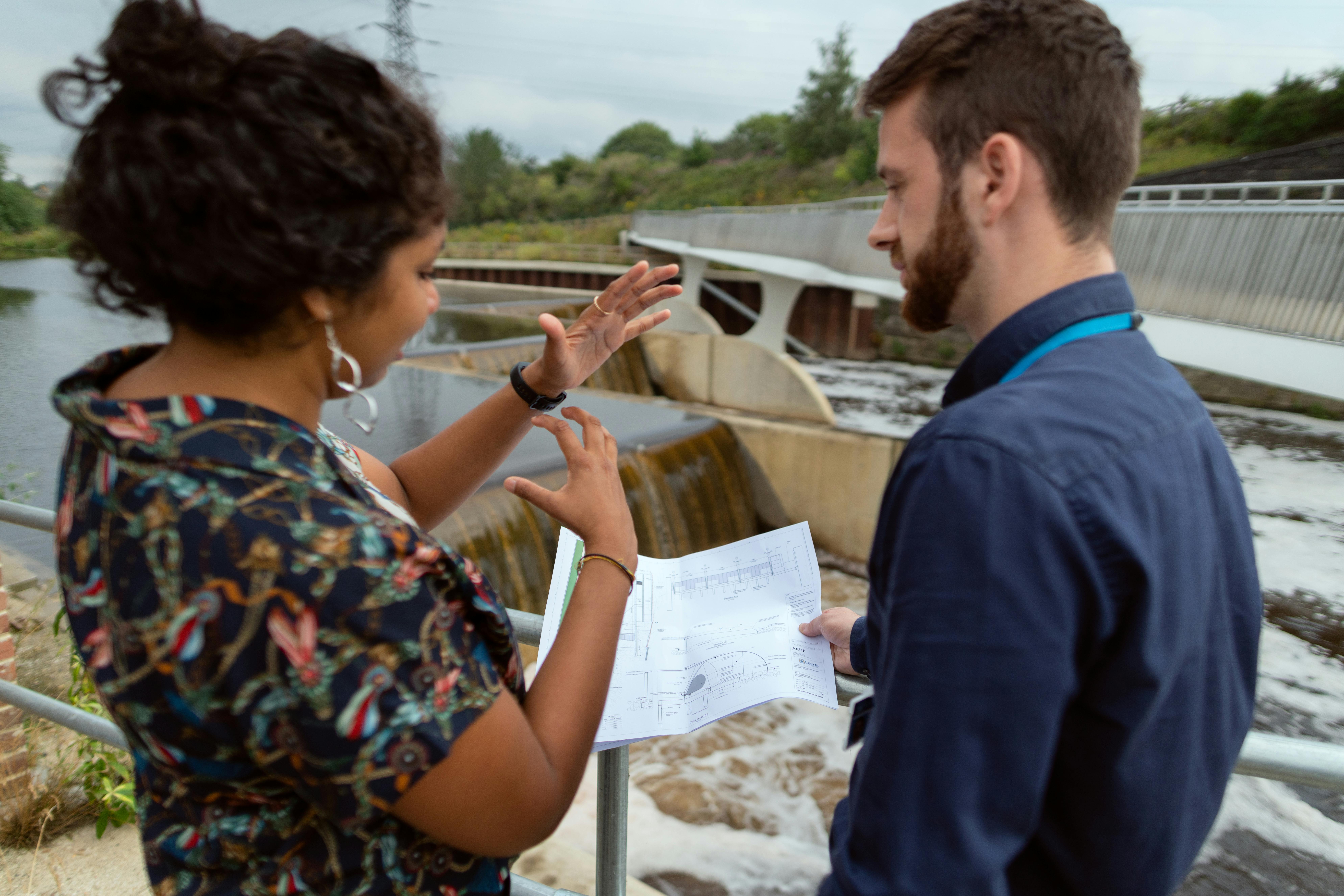
Engineers using GIS for asset management at water treatment facility.
Infrastructure Inventory and Condition Assessment
City of Penticton manages 184 km of roads and 143 km of walkways using Esri ArcGIS Enterprise with Roads and Highways solution. Implemented between 2012-2018, the system eliminated complex geometry editing through linear referencing and created connected pedestrian networks. The city achieved quick ROI and reduced infrastructure deficit pressures from their initial $76.8 million deficit.
Predictive Maintenance Planning
Peel Region, Ontario's second-largest water system serving 1.5 million residents, implemented an ArcGIS Online Decision Support System with Weibull statistical analysis for failure prediction. The system enabled proactive planning, extended asset lifespan through optimized maintenance, and improved budget allocation through real-time dashboards.
Work Order Management and Optimization
Calgary's ENMAX migrated to ArcGIS Online with Schneider Electric's ArcFM suite on Microsoft Azure. The user base doubled from 300 to 700+ users while eliminating 200+ paper maps. The system manages primary/secondary networks, underground infrastructure, and integrates with SAP enterprise systems. Real-time digital workflows replaced paper processes for improved field crew decision-making.
Mining and Resource Extraction
The mining industry relies heavily on GIS throughout the project lifecycle, from exploration through closure, to integration of diverse datasets, identifying prospective areas, and helping maximize resource recovery while minimizing environmental impact. Machine learning algorithms process satellite imagery; geological, geophysical, and geochemical data; and historical drilling results to predict mineralization.
- Exploration and Resource Modeling uses GIS to integrate geological, geophysical, and drilling data to predict mineral deposits and guide exploration investments.
- Mine Planning and Operations applies spatial analysis to optimize extraction sequences, haul routes, and equipment deployment for maximum efficiency and safety.
Exploration and Resource Modeling

Mining Excavation on a Mountain.
Mine Planning and Operations
Conclusion
GIS has evolved from a specialized mapping tool to an essential infrastructure for modern engineering practice. The core applications explored here—from infrastructure planning to asset management—demonstrate how spatial intelligence enhances engineering across all disciplines. As these foundations become standard practice, the engineering profession will be ready to embrace even more transformative possibilities through emerging spatial technologies.
In the second part of this two-part series, we will explore cutting-edge technologies reshaping GIS for engineers: artificial intelligence that can automate complex analysis, digital twins that represent living infrastructure replicas, survey-grade drone mapping, and augmented reality that overlays digital intelligence onto physical assets.