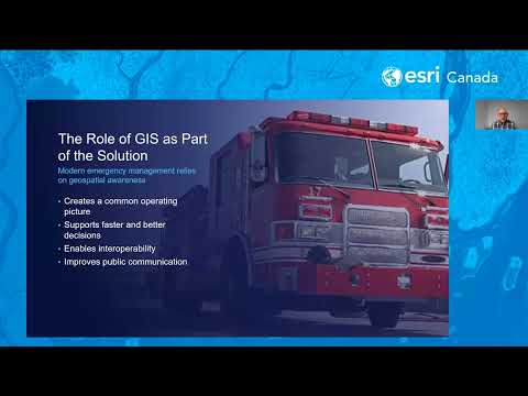
How Great Basemaps Help Canadian Communities Prepare, Protect and Rebuild
Watch Video
Watch Video
In this webinar, we’ll demonstrate the newest capabilities in ArcGIS Pro 3.5 and 3.6, focusing on practical workflows that make analysis, visualization and data management faster and more intuitive. W
Watch Video
ParcelMap BC, developed and maintained by the Land Title and Survey Authority of BC, is the trusted land management system mapping more than two million parcels for use by governments, utilities and o
Watch Video
Canada’s wildfire seasons are growing longer and more destructive, but for many communities, the real story begins long before the flames arrive, especially in the Wildland-Urban Interface (WUI), wher
Watch Video
GIS managers can ensure a successful Computer Assisted Mass Appraisal (CAMA) migration by prioritizing deep data cleansing, establishing robust spatial validation and fostering cross-functional collab
Watch Video
Sign up for upcoming webinars.
View ScheduleStay in the loop with Software announcements in ArcGIS Pro! In this GeoSnap, we walk through how ArcGIS Pro keeps you informed about updates, new features and important changes right inside the applic
Watch Video
Join us for an in-depth look at managing complex address and private road information as part of your NG9-1-1 GIS data preparedness journey. In this webinar you will learn why this GIS data is so crit
Watch Video
Ready to transform your field workflows? Discover the new task features in ArcGIS Field Maps that let you create, assign, and track work in one app. Learn how to configure smart forms, automate action
Watch Video
Infrastructure teams often face limited visibility, disconnected systems, and delayed insights that hinder real-time safety, risk, and performance management. This webinar shows how modern GIS improve
Watch Video
In this webinar, we’ll explore practical workflows for visualizing flood data and creating interactive maps that illustrate potential flood extents and impacts. You’ll learn how ArcGIS Solutions can a
Watch Video
Ready to spark innovation with your GIS workflows? This session will guide you through how to configure, share, and deploy ArcGIS Solutions that streamline workflows, enhance collaboration, and delive
Watch Video
Persistent gaps in access to prevention, testing, and care continue to drive inequities in public health outcomes across Canada, particularly for communities facing HIV and syphilis. Public health tea
Watch Video
Discover how ArcGIS AllSource helps analysts collect and analyze data from multiple sources to produce timely, actionable intelligence. Learn workflows for movement, link, or investigative analysis, a
Watch Video
Join us to explore the vision, features, benefits, and demonstrations of new capabilities in Trimble Unity Permit (formerly Cityworks PLL) and the new Trimble Unity Field mobile app, migration to the
Watch Video
Get ready to dive into ArcGIS Survey123! In this webinar, we’ll show you how to build and customize surveys using both the web designer and Survey123 Connect. With live demos and practical tips, you’l
Watch Video
Join our AMA-style webinar to engage with Esri Canada’s NG9-1-1 GIS experts. Get all your GIS questions answered, from specific data to general insights on transitioning to NG9-1-1 GIS. Address the ch
Watch Video
Learn how Esri ArcGIS and Schneider Electric ArcFM Solution can drive location intelligence to support a holistic view of a utility’s business planning and operations. The solution extends the Esri Ut
Watch Video
Join us for an engaging and accessible webinar designed specifically for non-technical municipal planning staff. We’ll explore how simple, user-friendly technology can support your community’s growth
Watch Video
In this webinar, we’ll explore what makes a story great, walk through the basics of building your own, and highlight examples from across the GIS industry. By the end, you’ll be ready to start turning
Watch Video
Learn how to easily document your telecom network with ArcGIS Online using the Communications Data Management solution for ArcGIS. We'll show how to extend network access using ArcGIS Field Maps and g
Watch Video
Loading More...