Mapping a career: reflections from a geography teacher
For more than three decades, Ewan Geddes has helped students see maps as more than a way to find places. From childhood orienteering adventures to bringing geographic information systems (GIS) into the classroom, in this post, Ewan shares his experiences and the people that shaped his career, and why geography matters more than ever.
What inspired you to become a geography teacher, and what kept you passionate about the subject throughout your career?
I have been around maps my whole life, thanks to my dad Jack. When I was young, he would pile our family into the station wagon and take us to orienteering competitions across the country, camping along the way. I even have photos of my mother, Riny, helping me read an orienteering map before I was five.
That early connection to maps eventually led me to represent Canada at the World Junior Orienteering Championships and helped me see maps as a way of understanding the world. I hope I can be as influential to my own family, my wife Liz and our children, Olivia and Alexander, as my parents were to me.
As a geography teacher, I had the privilege of sharing that passion with the next generation. Discovering GIS early in my career opened new possibilities. Students could investigate real-world problems, work with data, and create their own maps and solutions. Some eventually developed geographic information systems (GIS) skills that surpassed my own and watching them succeed in the classroom and through the Skills Ontario GIS competition was incredibly rewarding.
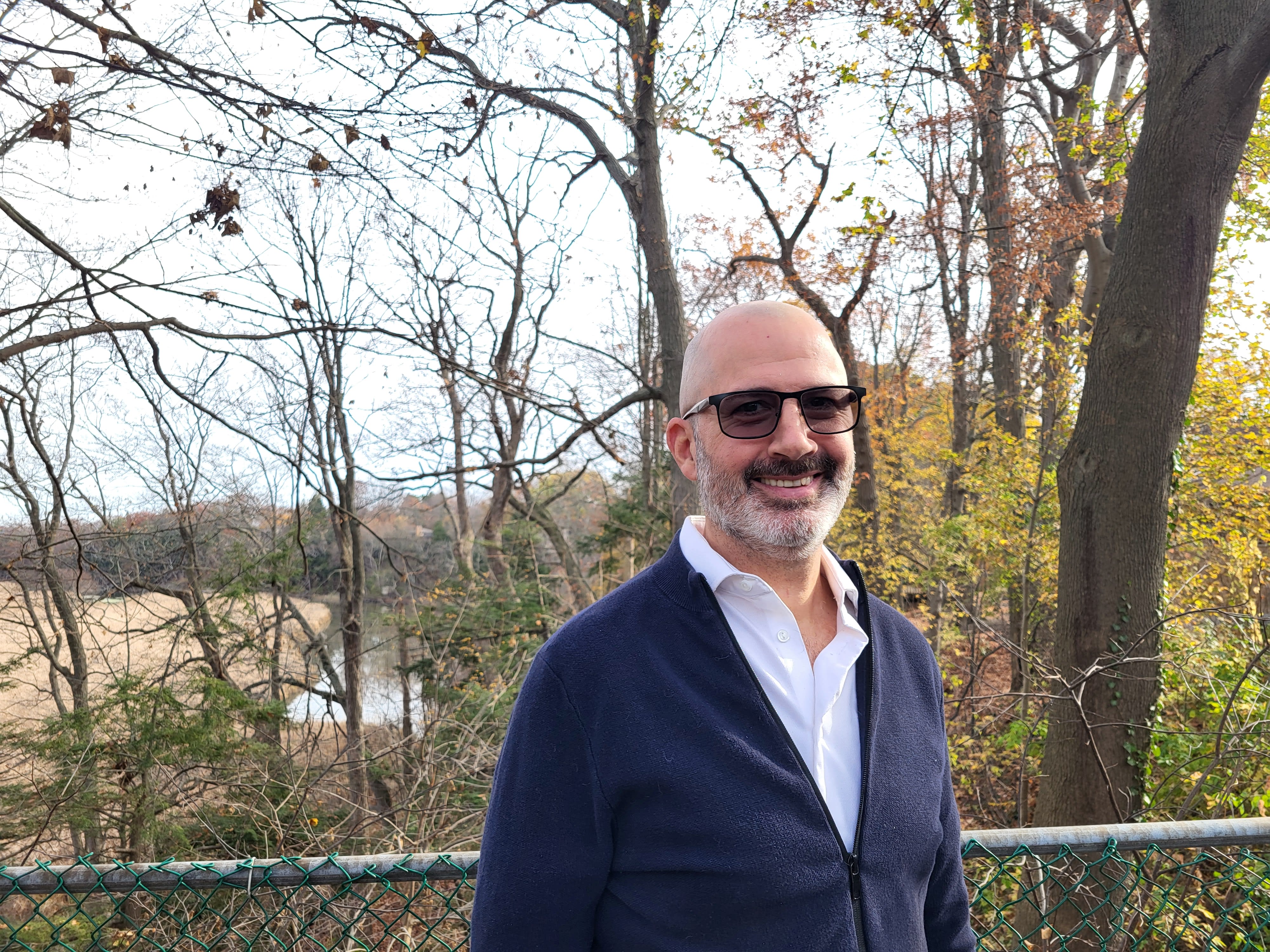
Ewan worked at a few schools in Toronto and brought his GIS mapping toolkit with him whereever he taught.
How have you seen geography education change, and what developments have had the biggest impact on student learning?
When I started teaching geography, much of our mapping involved black line masters that students coloured and labelled. One of the biggest changes I witnessed was the move away from rote memorization toward problem and inquiry-based learning using geographic principles. Suddenly, we could bring current issues into the classroom and ask students to investigate topics such as resource management, urban planning, and sustainability. Geography became something happening around them, not simply something in a textbook.
GIS brought another major shift as students could use the same spatial technologies as professionals to make decisions and explore issues that mattered like a geographer. I could have 30 students investigating the same issue and receive 30 unique maps reflecting their own geographic thinking. That made learning more meaningful for them and much more exciting for me as a teacher.
Why does geography remain important, especially in a world facing challenges such as climate change and sustainability?
Geography helps students understand what is happening in the world right now and consider what might happen next. Throughout my career, I returned to Charles F. Gritzner’s questions: “What is where? Why there? Why care?” These questions encourage students to investigate issues while recognizing that events happening around the world affect people, places, and environments in different ways.
The late Alex Trebek once shared a quote at a Royal Canadian Geographical Society Fellows’ dinner that stayed with me: “History is the past, but geography is the present and the future.” Geography gives students an opportunity not only to understand challenges, but also to imagine solutions.
In Geography in Action, a textbook which I co-authored with Paul VanZant and Lew French, we added another question: “What now?” Together, these questions encourage students to move from understanding an issue to thinking about what can be done about it.
Is there a student, mentor, event, or classroom moment that stands out as especially meaningful?
There are so many, but I will share a few.
Early in my career, my mentor Mark Lowry entrusted me with teaching his Spatial Technologies course at Central Technical School as he transitioned into a consulting role. Mark was an amazing geography teacher and mentor, and he influenced my career as a teacher.
At the time, I was still learning GIS myself, and one of my students helped me learn how to write some of the scripts and queries I needed. He later went on to become a map-maker with the Ministry of Education, using GIS full-time. His story reminds me that teachers do not always need to be the experts. Sometimes we learn alongside our students.
For 26 years, I also had the honour of chairing the Skills competition for GIS at my board in Toronto. I organized the regional competition and supported students as they tackled GIS challenges. The Esri Canada K-12 group assisted me in judging and providing guidance when I prepared the competition questions.
My final year of teaching at York Mills Collegiate brought another full-circle moment. A group of students I had first taught in grade 9 returned to my grade 12 World Issues class. One of them, went on to represent Canada at the 2026 International Geography Olympiad in Istanbul, where he placed third in the world. He also used ArcGIS Online to present a project on children in conflict areas at a Canadian Red Cross youth summit.
I was also deeply honoured to have my own career recognized by the Royal Canadian Geographical Society (RCGS). In 2024 when I was awarded the Alex Trebek Medal for Geographic Literacy for the work I did as a teacher, curriculum writer, and as a former president of the Ontario Association of Geographic and Environmental Educators (OAGEE). I was later awarded the King Charles III Coronation Medal for my contributions to Canadian geography education in 2025.
After more than three decades in the classroom, retiring in June 2026 felt like the closing of an incredible chapter.
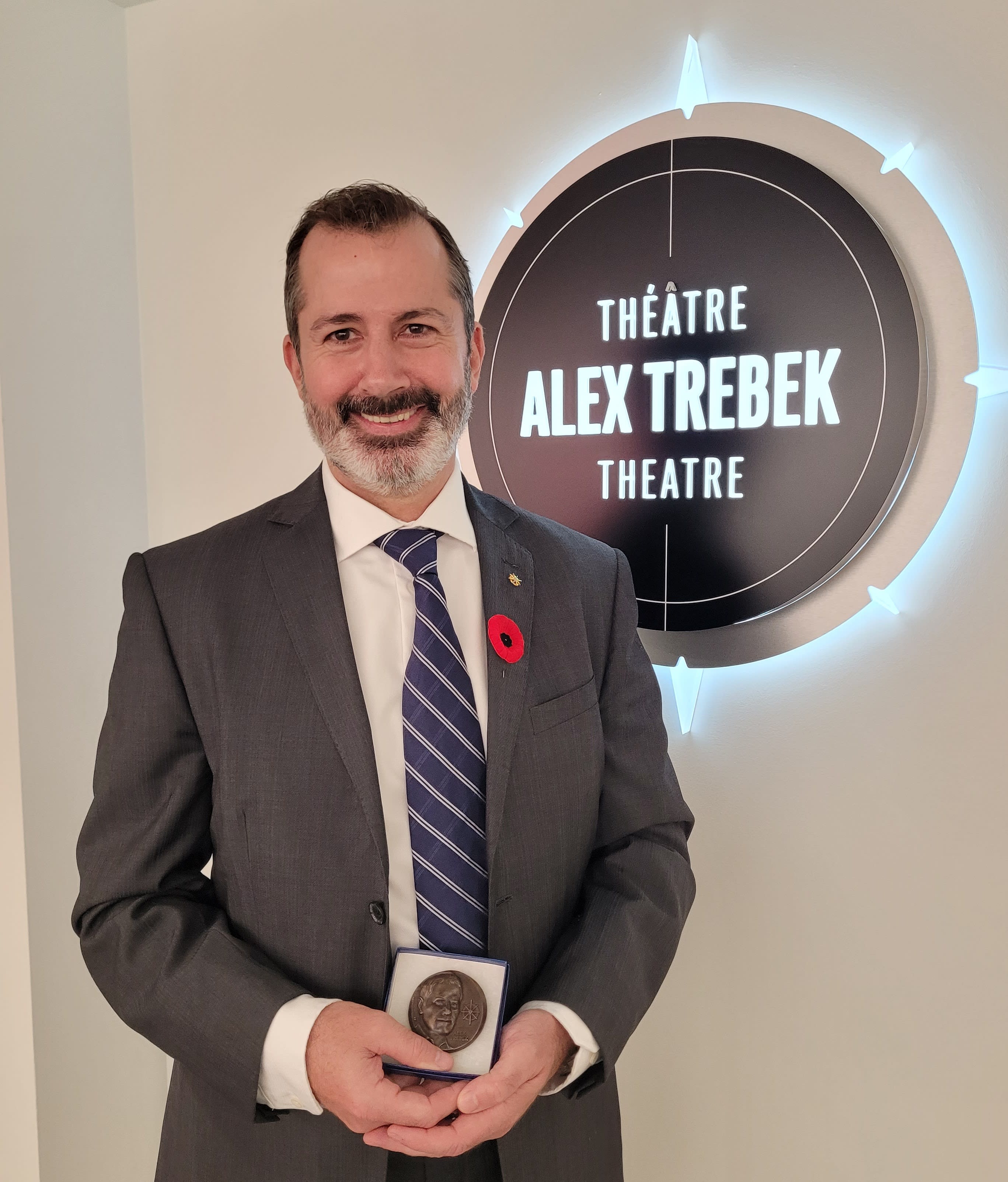
Ewan at the RCGS Headquarters in Ottawa where he was awarded the Alex Trebek medal in 2025.
What advice would you give today's students and educators interested in geography and GIS?
For students, understanding the world around you has never been more important, and geography provides powerful tools, like GIS to help navigate an uncertain world.
For teachers, my advice is simple: you do not have to be the GIS expert. You just need to be brave enough to help students get started, then give them the space to explore, while guiding them when needed. The more you use GIS, the more comfortable you will become.
Thank you, Ewan!
Congratulations, Ewan, on your retirement! It has been a pleasure working with you over the past 20 years. Thank you for your dedication to promoting geography and GIS in K-12 education! You've had an incredible impact on your students and fellow educators. We’re excited to see you continue sharing your passion as a GIS Ambassador!