Key Takeaways from the 2025 GIS in Education and Research Conference
Thank you to everyone who joined us at last month’s 6th biennial GIS in Education and Research Conference on October 16th, 2025. It was another great event that included an inspiring day of learning, sharing, and connection. With it now behind us, let’s take some time to reflect on the key takeaways that emerged.
A Buzz of Energy
The conference pulsed with energy from the beginning to the end of the day. Every room was alive with discussion, curiosity, and collaboration. Presenters brought passion to their sessions, and attendees responded with enthusiasm as they asked questions and shared ideas. It was clear that everyone was excited to be part of something meaningful.
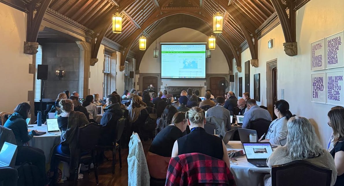
An ArcGIS Survey123 session in progress at the conference.
An Inspiring and Relevant Keynote
The day started with a warm welcome from Jean Tong, our new Director of Education and Research, and the president of Esri Canada, Alex Miller. Dr. Jason Gilliland was welcomed to the stage, where he delivered a compelling keynote presentation showcasing the transformative role of GIS in community health research, youth engagement, and collaborative initiatives. His talk featured a series of powerful and insightful maps drawn from his research projects, illustrating the real-world impact of spatial analysis in driving positive change.
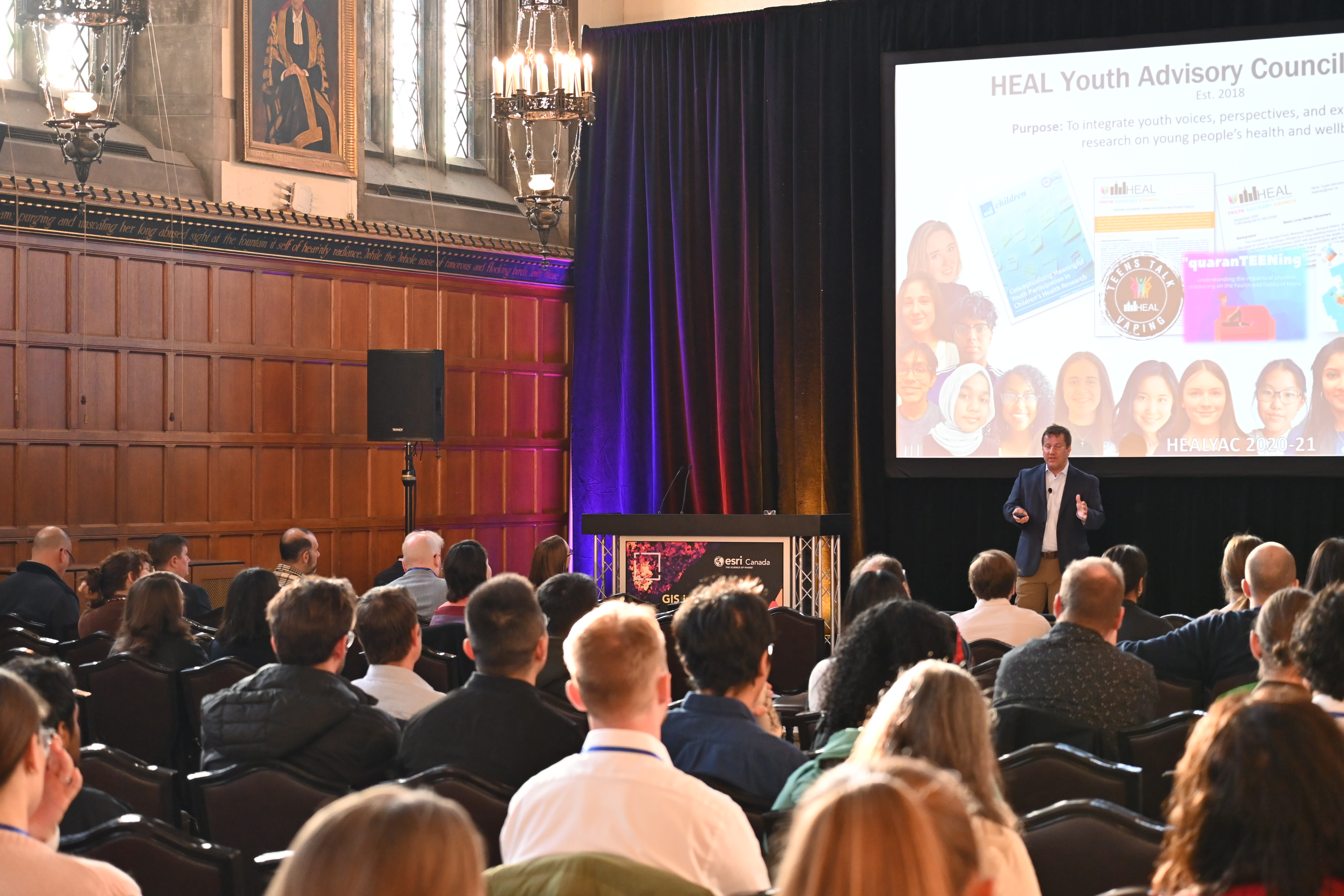
Dr. Jason Gilliland's keynote presentation highlighted the real-world impact of spatial analysis in driving positive in communities.
The theme of Dr. Gilliland’s presentation tied in with one of the subthemes that emerged in the paper presentations: GIS for Health. As Dr. Sandy Watts, Public Health Industry Manager at Esri Canada, described it “Many of the outstanding presentations at the GIS in Education and Research Conference showcased how essential geography has become to public health. From identifying barriers to cancer screening, to measles surveillance, to measuring community flourishing index across Canada. In sum, the students and researchers reminded us once again that GIS isn’t just about maps - it’s about understanding place to create healthier, more equitable communities.”
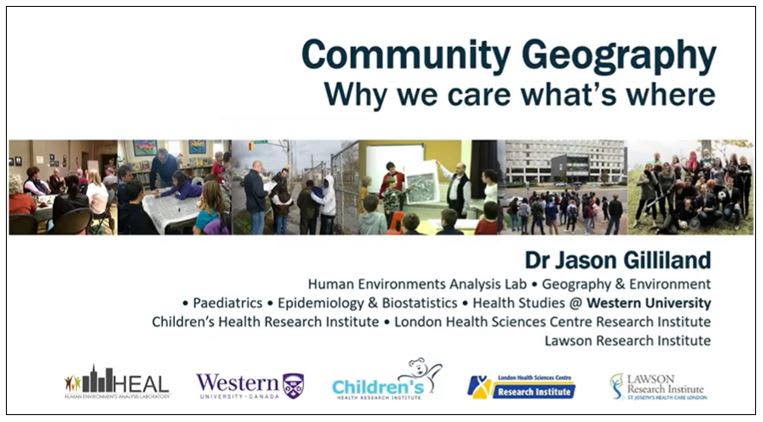
Watch Dr. Gilliland’s “Community Geography – Why we care what’s where” Keynote at the Esri Canada GIS in Education and Research Conference.
Connection
One of the most powerful aspects of the conference was the genuine connection among attendees. Educators, presenters, and participants found common ground. Whether it was through shared interests, regional ties, or language. A standout moment was the collaboration sparked between teachers from Ottawa and French-speaking educators, who left the event with plans to co-develop resources and support each other’s work. These types of connections go beyond the conference, and they lay the foundation for lasting partnerships.
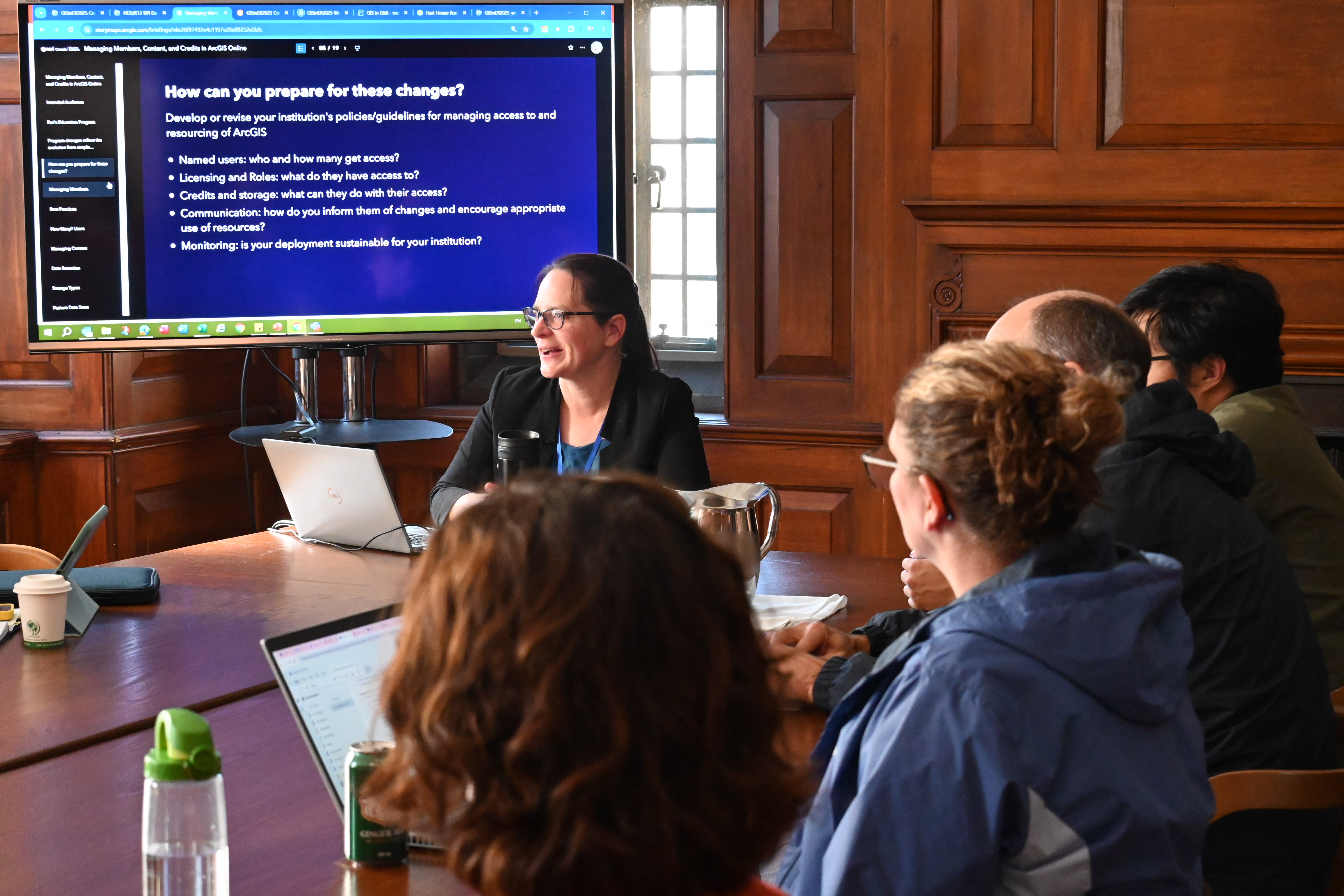
Dr. Krista Amolins, Higher Education Academic and Licensing Support Specialist facilitated the ArcGIS license administration session. Conference attendees had the opportunity to participate in a discussion about how they manage their ArcGIS Online organizations and how to adapt to upcoming changes.
While most participants were from Ontario, there were attendees from almost every province. For faculty and research staff in higher education, it was an opportunity to see what people are working on and to meet up with others in the Canadian GIS education community. For students, it was an opportunity to share their work and get feedback from researchers in their field or to get inspired by the work other students are doing.
And for those who were unable to attend in person, our first Virtual Map Gallery provided a means to connect and share despite the physical distances.
Hot Sessions
The conference featured Education sessions that covered a myriad of topics. Here are the ones that stood out for their impact, innovation or unique approach.
The ArcCanada Atlas session drew a full house of enthusiastic K-12 educators eager to explore interactive mapping tools. A highlight of the session was the 3D Canada Physical Regions activity, where participants “made it snow,” bringing geography to life through an engaging, hands-on simulation.
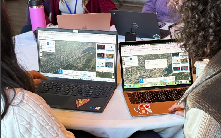
Teachers exploring the weather tools on their 3D map, just before “making it snow” in October at the ArcCanada Atlas session.
The most popular Higher Education session was the demonstration on using large language models (LLMs) and foundational models in ArcGIS. It was the last of a series of sessions on GeoAI, which also included hands-on workshops on imagery analysis in ArcGIS Online and using GeoAI models in ArcGIS Pro and a lunchtime GeoAI meeting of the minds.
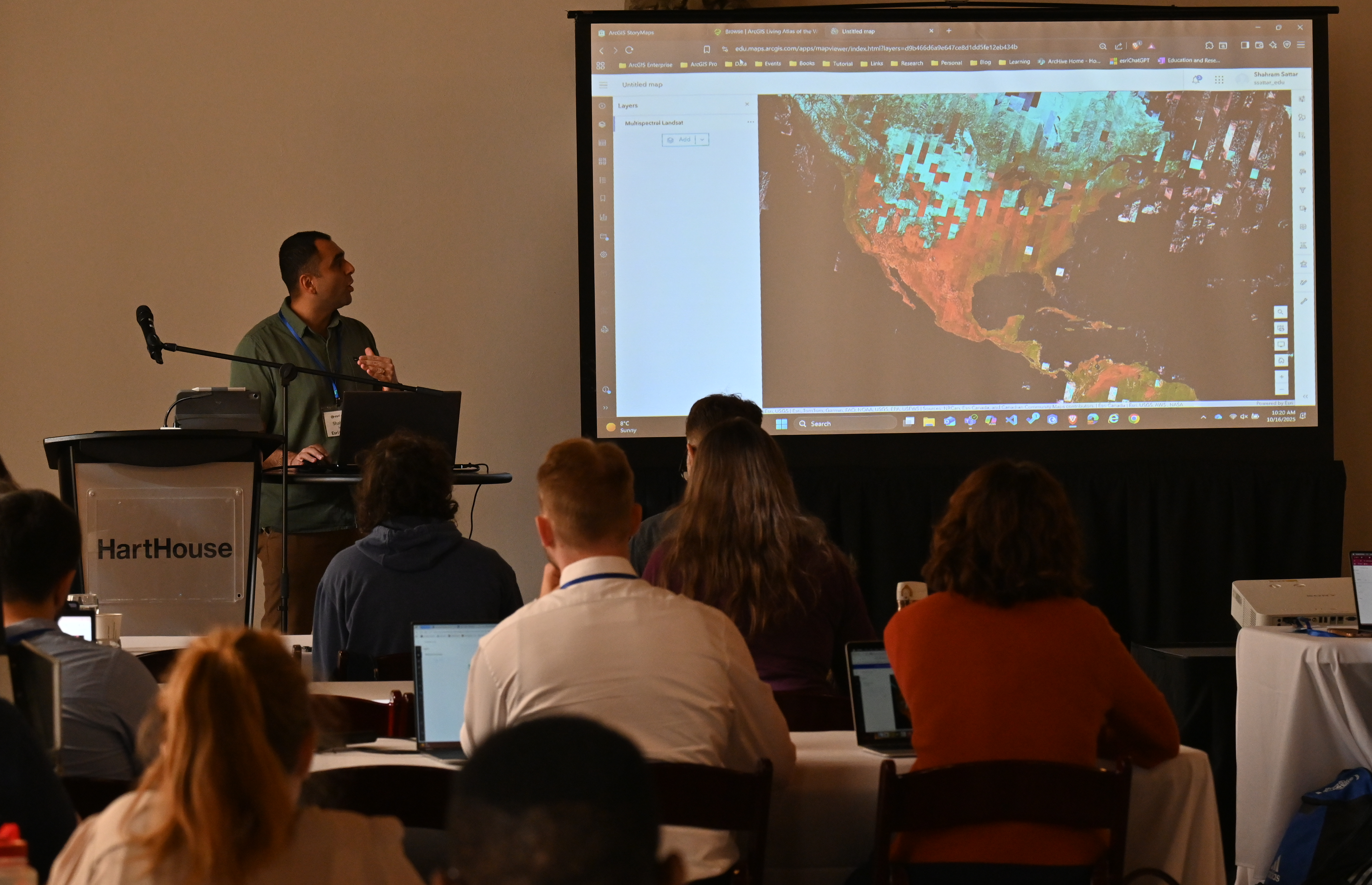
Shahram Sattar, High Education Developer presenting about Imagery and Remote Sensing at his conference session.
Feedback
We received thoughtful input from the attendees. This feedback will guide us to improve and innovate for the next conference in 2027.
K-12
A strong interest in a “Careers in GIS” session designed to guide K-12 and higher education students from academic learning to practical, real-world opportunities in the geospatial field. Combining the two educational areas into one session will be a great opportunity for collaboration between the two groups.
A request for advanced sessions. We typically offer beginner to intermediate sessions to K-12 educators, as that’s where many participants are on their learning journey. With this suggestion, we will make sure to include resources in our sessions that support educators ready to take the next step.
A short discussion was held at the ArcCanada Atlas session to find out what teachers want added to the atlas. There was a request for the following content – Canada’s natural resources, Canada’s National Parks, Canadian immigration.
The partner presentations were well received as it was a great opportunity for teachers to learn about resources created by Maximum City and Defining Moments Canada. Both organizations engage students in learning about their community and important events in Canada using ArcGIS applications like ArcGIS Survey123 and ArcGIS StoryMaps.
Higher Education
Both the workshops and paper sessions provided attendees with opportunities to learn about new technologies or unfamiliar tools. Education licenses provide access to all of the core ArcGIS products and many additional tools, but educators and researchers often aren’t aware that they have access to or how to use the tools until they see how someone else is using them.
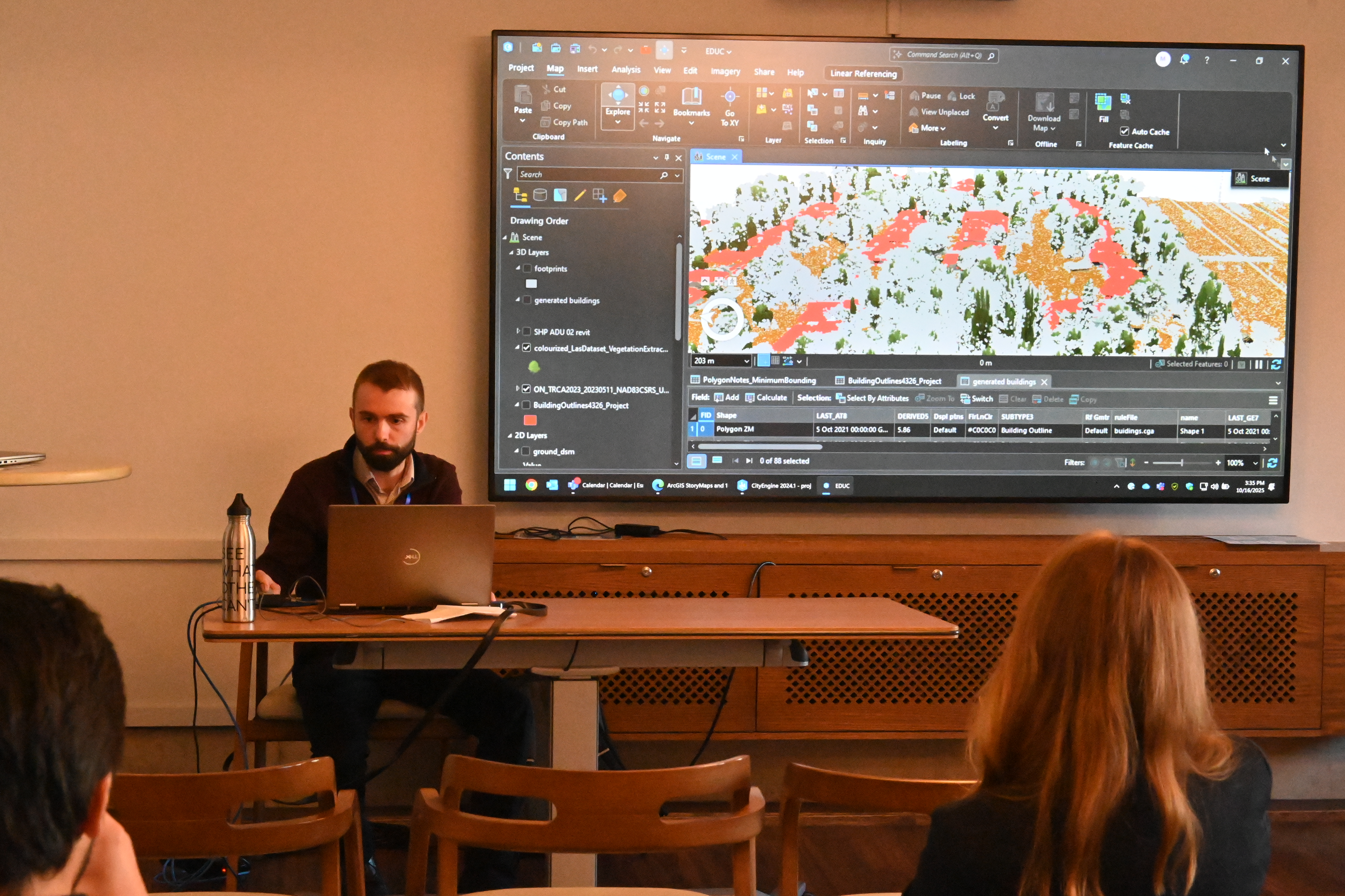
Michael Luubert, Higher Education Lead Developer at his session on Game Engine SDKs at the conference.
General
A common theme in the feedback was the need for more time: time to attend more sessions, time for networking, time to delve more deeply into or go more slowly through workshop material.
Better wayfinding. The conference is largely paperless, and the event rooms spread over three floors, which means that a good digital map is a necessity for navigating Hart House. Unfortunately, due to unexpected technical delays with the event app, some key information was not available in the app until the conference was underway. We will be exploring alternatives for sharing the agenda and room locations in mobile-friendly layouts.
De-stream registration. The conference has typically been organized as separate K-12 and higher education streams and was set up to filter attendees into one of the two streams. However, many of the higher education sessions may be of interest to “K-12” attendees and vice versa. We will look at how we can categorize sessions differently for the next conference.
Thank you, volunteers!
The Education and Research group extends heartfelt thanks to all the Esri Canada volunteers whose support helped make the event a success.
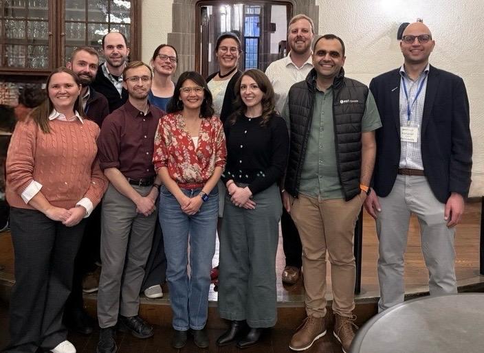
Members of the Esri Canada’s Education and Research group that were present at the conference.
See you in 2027
We hope this post sparks your excitement about what’s coming for the 2027 conference. Look out for a save-the-date message in the first half of 2026. Happy Mapping!