GIS Day Spotlight: Teacher Wins, GIS Stories, and ArcGIS Resources
Happy GIS Day and Geography Awareness Week! GIS Day is held annually in November, but it’s more than a date, it’s a mindset we can embrace every day!
In this post, you’ll discover exciting updates, inspiring GIS stories, and ready-to-use ArcGIS resources to celebrate spatial thinking in your classroom year-round. Let’s make mapping and inquiry part of everyday learning, not just a once-a-year event.
Join us for GIS Day with Esri Canada!
This year’s GIS Day theme is the Geo-Generalist Era: Where Spatial Meets Everything.
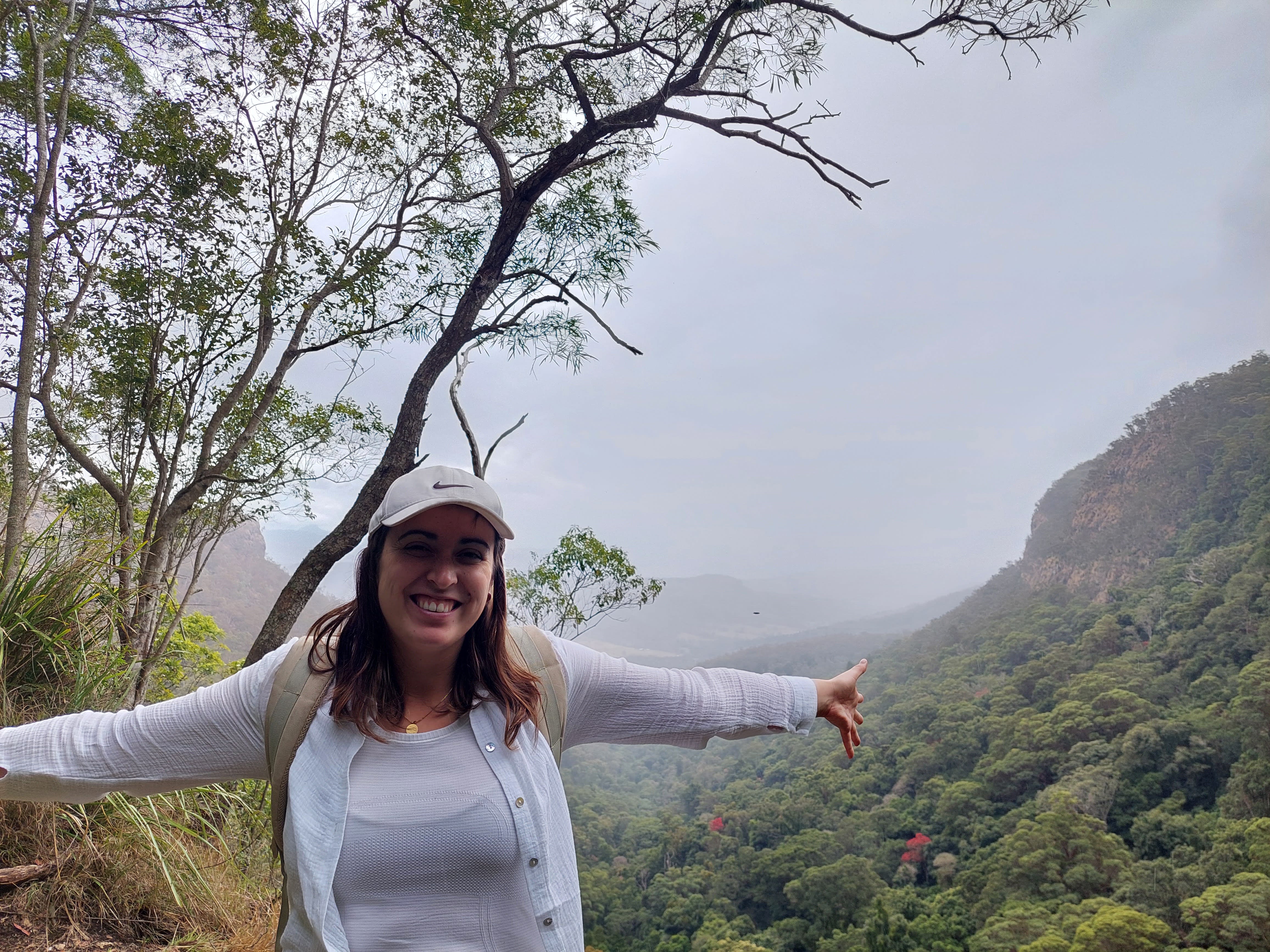
Register for the Esri Canada free virtual event that will be held on Tuesday, November 18th from 12-3. Learn about how GIS is used in different industries and listen to engaging presentations by GIS professionals. Check out last year’s proceedings including the Making a Difference Award that was awarded to Cynthia Bettio, a high school teacher.
Winner of the 2025 Esri Canada’s New Teacher Competition
This year we hosted the New Teacher Competition to acknowledge creativity, innovation, and commitment to helping students develop geographic literacy, spatial awareness, critical thinking, and analytical skills using geographic information systems (GIS) software ArcGIS.
We are thrilled to announce that Robyn Moffat placed first in the 2025 New Teacher Competition with her submission of “Canada’s Natural Wonders.” In this storymap, students virtually travel through Canada to discover the Indigenous stories and geological processes of unique landforms in Canada. This resource was created to connect to the grade 9 Exploring Canadian Geography course that was released at the beginning of the 2024/2025 school year. This activity has been added to the Esri Canada K-12 Resource Finder. Congratulations Robyn for creating an incredible resource students and teachers will be able to use in their learning.
Robyn’s curiosity for travel and geography makes her an inspiring storyteller and educator.
Get inspired by GIS Stories
Throughout the year, we highlight GIS related events, educators who are doing interesting things with GIS in their classroom and sometimes in the field, and new resources. Check out the latest Esri Canada Education and Research blog posts to see what has been going on in Canada.
Some highlights of 2025 include:
- The wrap up post on the Skills Ontario 2025: Students map crime patterns in Ottawa
- The updated K-12 Resource Finder
- GIS Ambassador support – On the Map with Wendy Baldin and Diane McCullagh
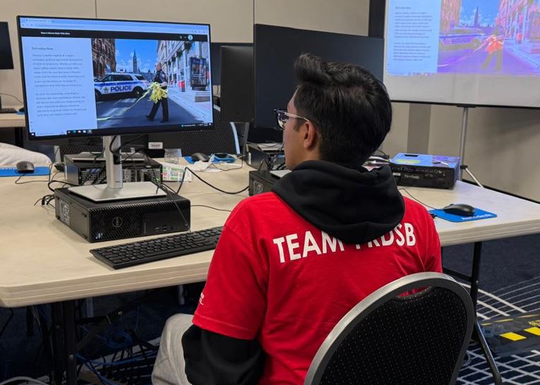
Student competitor at the Skills Ontario GIS competition in May 2025.
ArcGIS resources to get started and go beyond
Whether you're introducing students to GIS for the first time or looking to deepen their spatial thinking skills, these ready-to-use resources offer quick, engaging ways to bring mapping into the classroom.
Map it in Minutes
This tutorial series includes 6-minute mapping activities for students using ArcGIS Online.
ArcCanada Atlas Activities
The ArcCanada Atlas is your interactive atlas to uncover the hidden gems of this incredible country and explore other places in our world. Use the activities to get started!
Data Exploration
Learn how you can find trusted data and content in ArcGIS Online.
Quick data, cool map
A fun and quick activity to try with your students. Show them how easy it is to add recent USGS earthquake data to ArcGIS Online.
GIS Careers
The following resources cover GIS careers in Canada, and how GIS is used in different industries around the world. Explore them with your students and start the conversation about the importance of maps and GIS in making decisions that matter.
Career Path Series
Discover the world of GIS, showcasing its vast applications across various careers and industries in Canada. Try out the lessons, as well!
The Esri Map Gallery
Explore a stunning array of imaginative and visually captivating maps created by the global ArcGIS user community. These creations not only showcase the power of GIS technology but also highlight diverse career paths in the field, offering inspiration and insight for anyone interested in mapping.
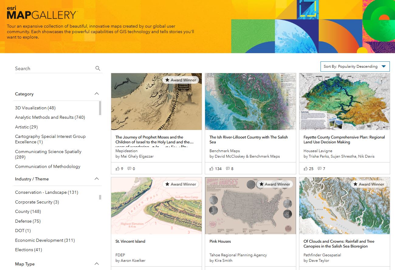
Students can explore the Esri Map Gallery to find maps by “Industry/Theme” to see how GIS is used and the type of careers that are out there.
Feel free to share this post with your colleagues and share the spirit of GIS Day. Happy Mapping!