Why GIS belongs at the heart of municipal planning
For a country who talks a big talk about prioritizing housing, Canada doesn’t seem to be using all the tools at our disposal. Geographic Information Systems (GIS) and Planning teams need to strengthen their relationship and pull in the same direction so that Planning is not an afterthought. Because Planning initiatives aren’t a distraction for GIS teams: GIS for planning is a strategic necessity.
The other day a GIS colleague asked me, “do you think it’s a good idea to distract municipal GIS analysts with work for the Urban Planning team when they have other things to focus on?”
I froze. The implication that Planning should not be a priority for GIS teams? That GIS for planning work was somehow less critical or fulfilling or important than GIS for other industries?
Why shouldn’t planners have access to tools and solutions and workflows that will help them see the bigger picture, do their work more efficiently and create better neighbourhoods?
Of course, it’s possible to do urban and community planning without GIS or other technologies. It’s been done that way for millennia. It’s also possible to get dental surgery without anaesthetic. But just because you can do something “the way it’s always been done” doesn’t mean you should.
While this question from a colleague bruised my soul a little, it’s a reflection of two industries going through change.
While there is still definitely demand for GIS experts who know how to do very technical and deep GIS work, there is growing demand for people who understand GIS while also having extensive knowledge of their industry or field. For example, GIS is extremely well integrated into the utilities industry, where analysts who understand utilities’ needs and outcomes use GIS to do analysis and modelling and make better informed decisions.
Planning is also changing. Hand-drawn maps and static zoning by-law PDFs that don’t quite line up with roads and parcels are antiquated and disappearing (albeit not quite fast enough). The growth goals and community needs of today cannot be met by the tools of the past. Everything in planning is tied to a location, so of course it makes sense that GIS be integrated into Planning departments.
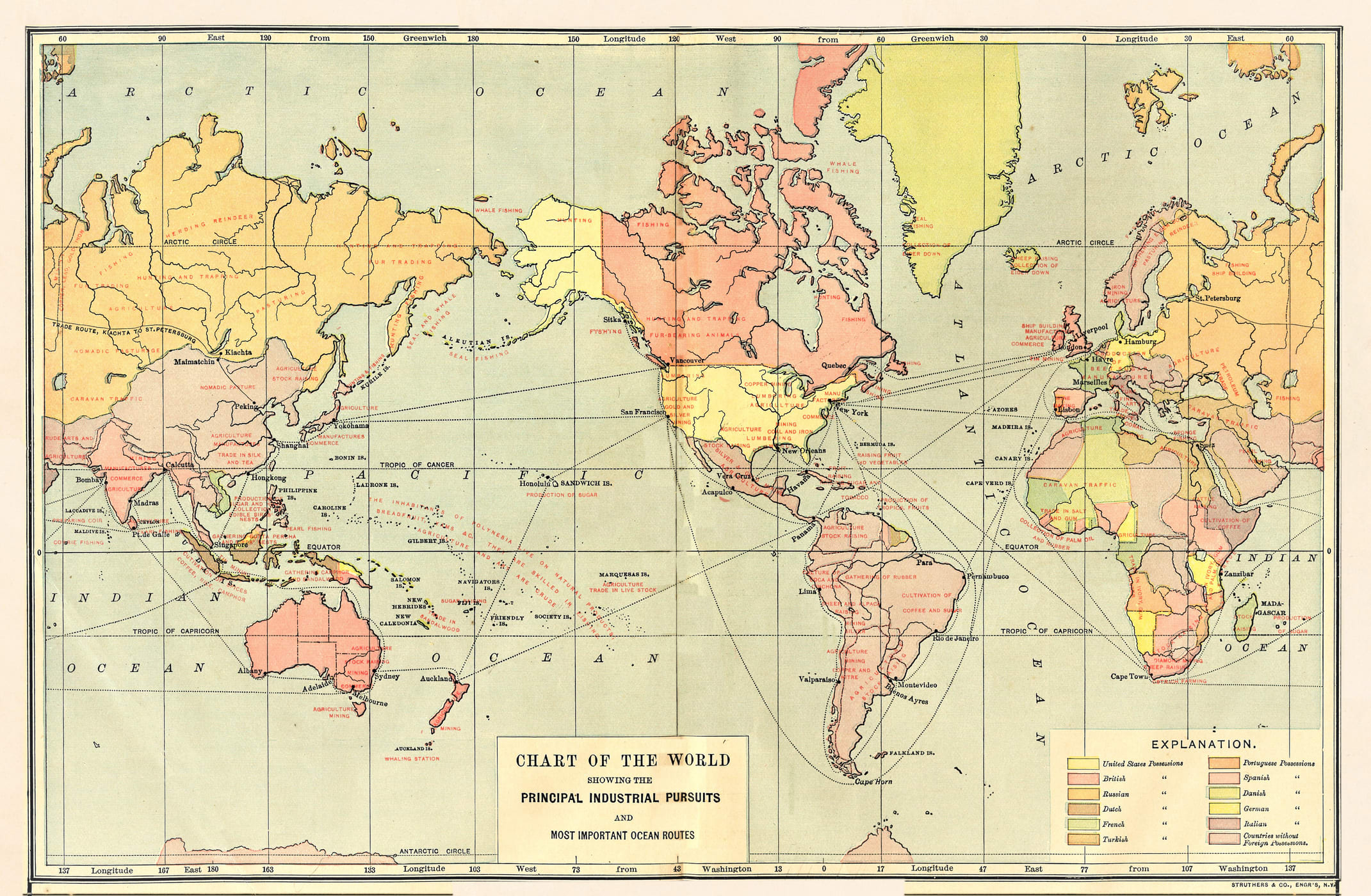
Hand-drawn maps are disappearing, albeit slowly.
There are cities, towns, districts, regions, provinces and territories across Canada that are doing incredible planning work with GIS. From digital twins, to future growth modelling, from climate change adaptation and mitigation to reporting and storytelling, GIS is being used across Canada to strengthen planning projects.
So if these two industries are changing and growing closer together, why do we still not view planning as a priority for GIS? Why is it viewed as a distraction from other, more traditional GIS projects?
Disappointingly, I don’t have a good answer.
It’s especially frustrating from an equity perspective. Most municipalities in Canada are using GIS tools with the (arguably) overarching goal of increasing spatial insights and efficiencies, resulting in better, stronger, more resilient communities. If Planning teams aren’t being given access to the same tools, they’re missing out on valuable spatial insights and analysis tools that could make their jobs easier.
Integrating GIS into planning doesn’t just mean that you get maps of planning policies. It means so much more for the broader team:
-
Future growth scenarios and plans that measurably meet housing demand
-
Visualizations of allowable density and proposed designs for better-quality community and council input
-
Easier reporting and metrics for the mayor, residents and province to help them better understand the housing being built
-
The ability to tell the story of housing success and future plans
Above all, though, it puts Planning on the same page as other municipal teams.
When all urban planning policies can be geographically referenced, it’s easier to coordinate with all municipal teams.
So the OCP aligns with infrastructure plans, meaning that you can turn on the right number of light switches in a new development or infill.
Or so that the Transit and Transportation teams understand where new bus lines and bike lanes need to go so that people can get to their jobs.
Or so the school board understands where people are moving, and they can build schools within walking distance of young families.
Or so the Economic Development team knows that the jobs they are creating can be filled by people who can live in the community and contribute to the overall economic wellbeing of the municipality.
I have met GIS-enabled Planning teams who are doing incredible work and building a strong future for residents.
I have also met Planning teams who get their data and maps from file folders in SharePoint. And affordability housing providers at regions who track available housing stock in Salesforce. And Planning teams who have had to cancel major housing projects because of lack of infrastructure.
For a country who talks a big talk about prioritizing housing, Canada doesn’t seem to be using all the tools at our disposal. GIS and Planning teams need to strengthen their relationship and pull in the same direction so that Planning is not an afterthought. Because Planning initiatives aren’t a distraction for GIS teams: GIS for planning is a strategic necessity.
Want to chat more about how to build a GIS-enabled Planning team? Book a call with me here.